FACTORY

Lane Patrol
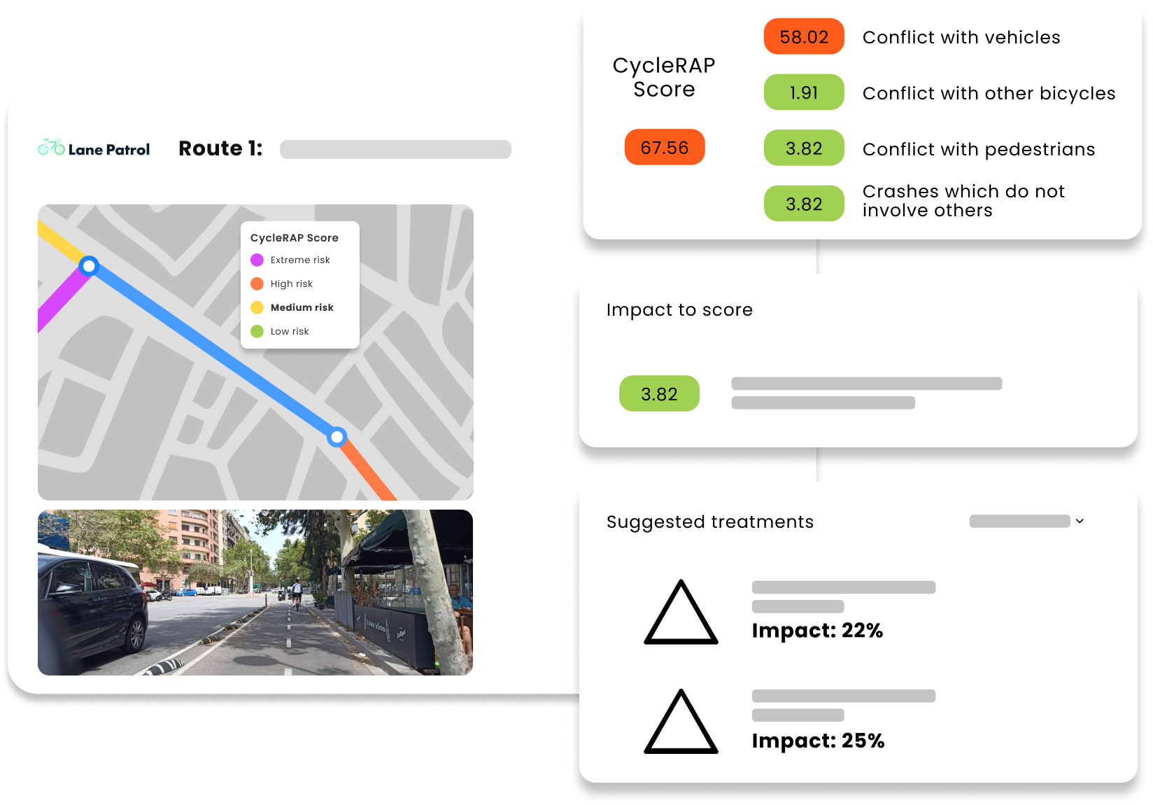
Lane Patrol offers data-driven insights to identify potential hazards and improvement of the cycling infrastructure to help reduce crashes and injuries.


How Lane Patrol makes cycling safer
Image collection
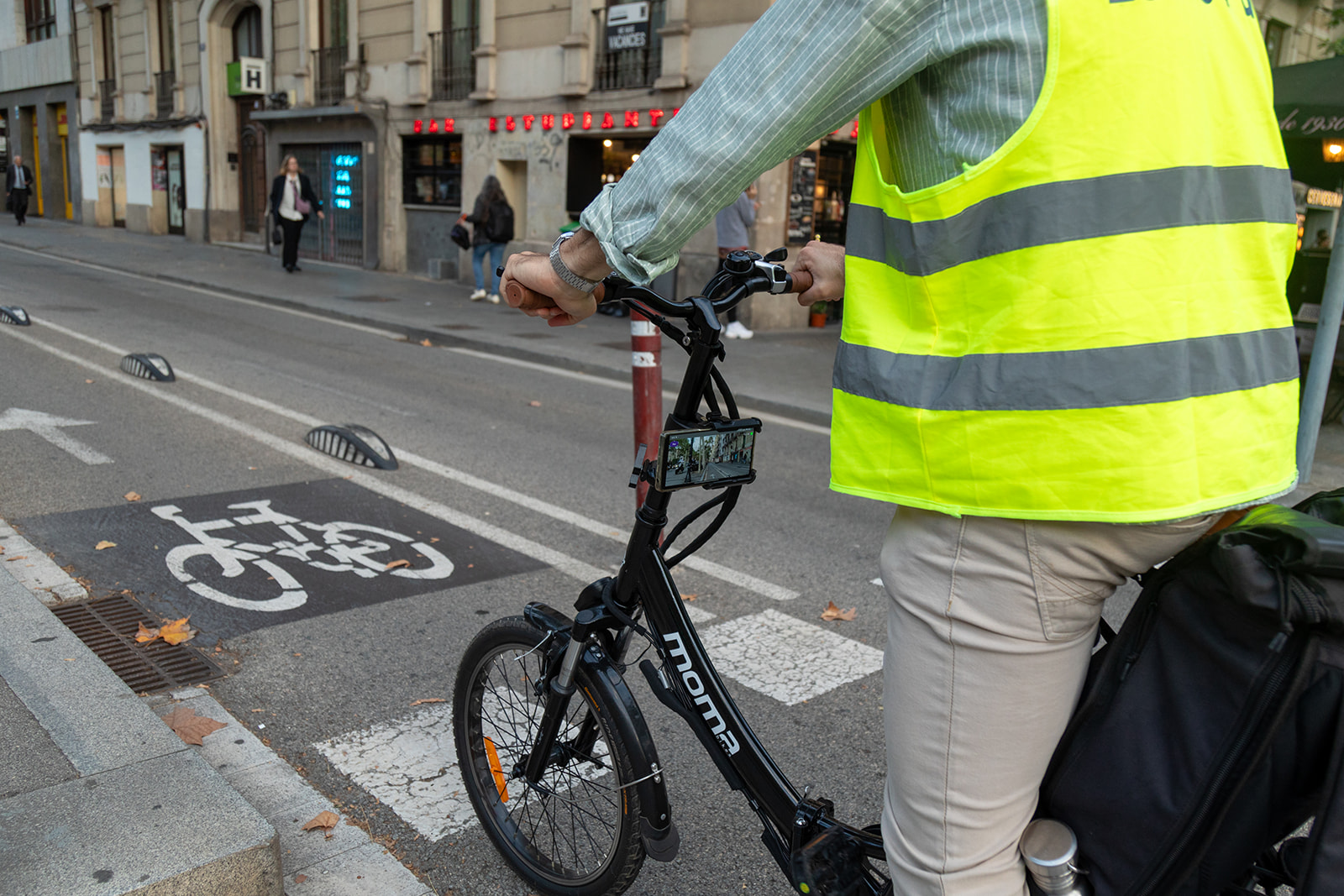
Easily mount a phone on a bike, and the app captures georeferenced photos of the cycling infrastructure automatically.
Analyse infrastructure
Leveraging the CycleRAP methodology, Lane Patrol automatically defines the level of risk to categorize the different areas of the infrastructure.
Smart Planning
Lane Patrol automatically generates forecasted improvement scenarios that allow decision-makers to plan and improve the cycling infrastructure.
Lane Patrol in action
When mounted on a bike, the Lane Patrol mobile app automatically captures georeferenced images of the cycling infrastructure. These are later synchronised with the web tool, which utilises vision models to assess safety with over 40 features, such as infrastructure width, protective barriers, and obstacles.
Check out the video of Lane Patrol’s cycle infrastructure survey in Skopje, North Macedonia.


